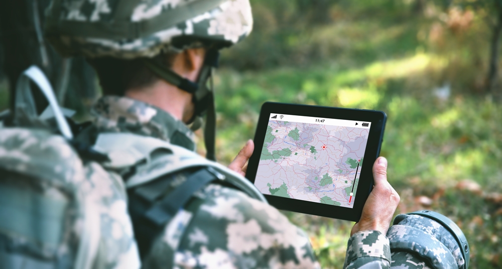
The U.S. Army is exploring how LoRaWAN could help with military communications in dense urban areas. The most important areas are where buildings may obstruct communication.
This is the reason why the Army Research Laboratory has been researching how IoT technologies have the ability to complement the capabilities of military assets in urban operations. This includes smart city infrastructures supporting the emerging Internet of Battlefield Things, or the IoBT.
The Army Research Laboratory used its own IoT architecture as well as commercial smart city hardware and software reportedly in order to demonstrate whether the integrated system could support situational awareness and command-and-control capabilities in tactical environments.
In this test, which was conducted in Montreal, Canada, the Army Research Laboratory attached different connected devices to the roof of a vehicle and drove it around the streets. “In doing this testing, a key objective involved getting as comprehensive coverage as possible, given roadways in and around downtown Montreal,” said James Michaelis, computer scientist, Army Research Laboratory. “One challenge in doing this was that several roadways were not consistently accessible (due to issues such as road construction). As such, data collection had to be spread out over multiple routes and urban terrains.”
The Army Research Laboratory set up the IoT devices to transmit at three LoRaWAN data transmission rates. These rates had different message sizes. The connected devices broadcasted the vehicle’s GPS coordinates. The tests showed that the “maximum transmission distance across the city's central business district was 5 kilometers, or about 3.1 miles, from the receiver,” said the Global Cycling Network.
The research laboratory has also used the data to explore coverage gap analysis. This gap analysis focuses where LoRaWAN coverage may be blocked, as well as data rate coverage. It also examines the effect of data transmission rates on coverage.
“These both represent ongoing areas of work, involving identification of methods to assess LoRaWAN and the performance of other communication protocols in the presence of varying types of urban infrastructure,” said Michaelis. “A near-term goal will involve work on developing urban terrain profiles, encompassing factors such as buildings, as well as natural terrains, which could be applied to support analysis of network coverage and capability.”
The IoT tools could be used to monitor changes in the environment and spot threats at base perimeters or might be used in “humanitarian and disaster relief efforts where situational awareness over the affected areas is required before deploying,” said the Global Cycling Network.
Chrissie Cluney has been a correspondent for IoT Evolution World since 2015. She holds a degree in English with a concentration in writing from the College of Saint Elizabeth.Edited by
Ken Briodagh